We left the Campground about 9:30 and it would be a fairly short drive. As it happens, I-70 is a very important Interstate. Below are excerpts from
wikipedia on I-70. I think you'll find it interesting.
Interstate 70 (I-70) is a major Interstate Highway in the United States that runs from I-15 near Cove Fort, Utah to I-695 near Baltimore, Maryland.
West of the Rockies, the route of I-70 was derived from multiple sources.
The construction of I-70 in Colorado and Utah is considered an engineering marvel as the route passes through the Eisenhower Tunnel, Glenwood Canyon, and the San Rafael Swell.
The Eisenhower Tunnel is the highest point along the Interstate Highway system with an elevation of 11,158 ft (3,401 m).
Utah
Interstate 70 begins at an interchange with Interstate 15 near Cove Fort. Heading east, I-70 crosses between the Tushar and Pahvant ranges via Clear Creek Canyon and descends into the Sevier Valley, where I-70 serves Richfield, the only town of more than a few hundred people along I-70's path in Utah.
[We got on I-70 at Salina, so the formations spoken of below are probably in thepictures above]. Upon leaving the valley near Salina, I-70 crosses 7,923 ft (2,415 m) Salina Summit and then crosses a massive geologic formation called the San Rafael Swell.
Prior to the construction of I-70, the swell was inaccessible via paved roads and relatively undiscovered
Once this 108 mi (174 km) section was opened to traffic in 1970, it became the longest stretch of interstate highway with no services and the first highway in the U.S. built over a completely new route since the Alaska Highway.[4]
It also became the longest piece of interstate highway to be opened at one time.[5]
Although opened in 1970, this section was not formally complete until 1990, when a second steel arch bridge spanning Eagle Canyon was opened to traffic.
Since I-70's construction, the swell has been noted for its desolate beauty.
The swell has since been nominated for National Park and/or National Monument status on multiple occasions.
If the swell is granted this status it arguably would be the first time a National Park owes its existence to an interstate highway.
Most of the exits in this span are rest areas, brake check areas, and runaway truck ramps with few traditional freeway exits.
I-70 exits the swell near Green River. From Green River to the Colorado state line, I-70 follows the southern edge of the Book Cliffs.
 |
| Devil Canyon |
 |
| At this point we are 8,000 Ft in Altitude |
 |
| Going Down! |
 |
| Using the jake brake [an engine brake for truck diesel engines that cuts off fuel flow and interrupts the transfer of mechanical energy to the drive mechanism.] |
 |
| Sign says "Runaway Truck Ramp 1 mile..." |
 |
| Truck run off - to bail if no breaks |
 |
| So awesome!! |
 |
| At the very bottom of this is just a hint of the Road. I had to straighten the picture and by the time I got it right, the road was cut off. |
 |
| See the size of these mountains against the Tractor Trailers |
 |
| Yup, we're taking a hard right.... |
 |
| And some "S turns" while going down steeply |
 |
| another "hard right turn"... |
 |
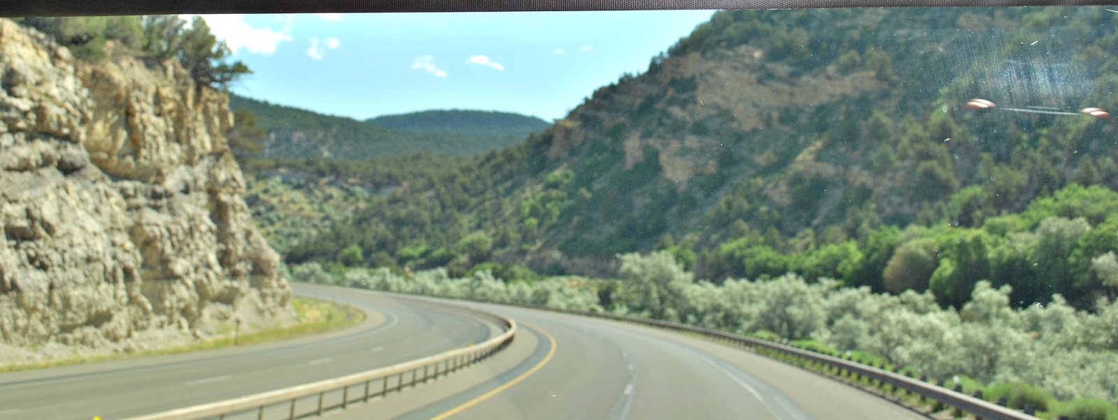
| We're done descending and have been riding a while again. These are the wonderful hues outside our windshield,. |
 |
| Jim doing what Jim loves to do |


No comments:
Post a Comment